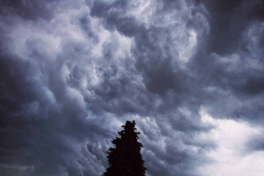
After a weekend of unusually warm weather, an Atlantic disturbance will bring severe storms to the North starting Wednesday, September 9, with heavy rains and plummeting temperatures.
A radical change in weather is expected over Italy starting Wednesday, September 9th. After a first weekend of the month still characterized by stable and anomalously warm weather, with temperatures up to 10 degrees above average in the North, a ripple in the polar jet stream will pave the way for an Atlantic disturbance. This will reach the Alpine arc in the night between Tuesday and Wednesday, before extending to the northern regions.
The disturbance, the first of the month, will bring widespread rain and thunderstorms, particularly intense over Piedmont, Lombardy, Liguria, Triveneto, and Emilia-Romagna, with a probability of precipitation exceeding 60% in some Alpine sectors. The expected accumulations by Thursday could reach 30-40 mm in areas like Milan and Genoa. The passage of the system will end the heatwave, bringing temperatures back to near-normal values.
The incoming change interrupts a meteorological phase dominated by the African Anticyclone, which for days has blocked Atlantic disturbances over the Mediterranean and Italy, causing an intense heatwave. This anticyclone has brought temperatures up to 6/8 degrees above average, with exceptional thermal anomalies in the Alpine areas, where the freezing level rose to 4400-4600 meters, and almost completely inhibited afternoon instability and the formation of thunderstorms.
The shift is determined by a reorganization of the polar jet stream over Europe, which, from a configuration that kept disturbances away from the Mediterranean, will begin to undulate more over Western Europe. This movement will allow cooler Atlantic currents to descend southward. While Monday the 7th and Tuesday the 8th will conclude the warm phase (with possible final afternoon thunderstorms over the mountains), the true circulation change will occur mid-week, inaugurating a more dynamic and cooler phase, typical of the approaching autumn.
"Dentro la Notizia" (Inside the Story) is an amateur, non-profit section of quoz.it, created for people who find it hard to make sense of current affairs without some context. Articles are written with AI assistance from public sources, without a professional newsroom or systematic editorial review: they may contain inaccuracies and are not a substitute for registered news outlets. This is not a registered press outlet under Italian law (L. 62/2001). Images, when not original, come from external sources for illustrative purposes only. If you find an article offensive, inaccurate, or think it should not be published — or you hold rights to a text or image and want it removed — let us know and we will act promptly.
Contact:
info@quoz.it

Comments (0)
No comments yet. Write the first one!