Radical change in weather after days of stable heat. The vortex will move from North to South bringing widespread bad weather and a temperature drop.
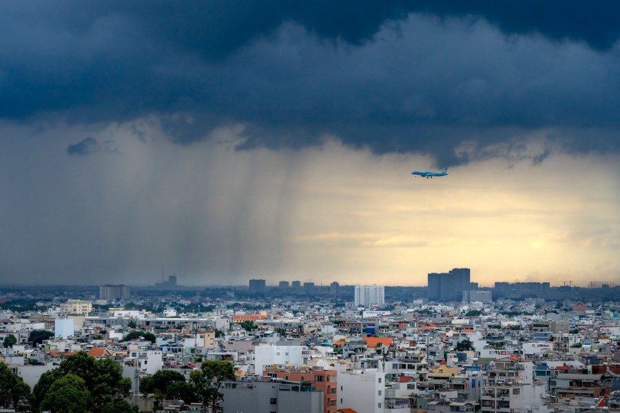
A cyclonic vortex arriving from France will bring a significant worsening of weather conditions to many Italian regions starting Wednesday, September 9th, with heavy rain and thunderstorms. The situation, which requires particular attention, is caused by a trough descending from Northern Europe that will favor the formation of this disturbed system.
The vortex will form over the French coast and then move rapidly toward Sardinia and the upper Tyrrhenian Sea. The most affected regions will primarily be those in the North and part of the Center, with the Alps, Prealps, and northwestern plains under watch. In the latter part of the day, the bad weather will also involve the northeastern plains, while Tuscany and inland sectors of Marche and Umbria will see showers and thunderstorms.
In the following days, the vortex will slowly shift toward the central Tyrrhenian sector, reaching the southernmost areas by Saturday. Until Friday, instability will be the main feature especially over the Center and North, while over the weekend the bad weather will concentrate in the South and part of the Center, moving away from the northern regions.
The incoming weather change represents a sharp interruption of a long phase of stability dominated by the subtropical high pressure. This configuration, which guaranteed predominantly stable conditions and high temperatures of up to 37°C in several Italian cities, is coming to an end after having characterized the beginning of September.
The origin of the change dates back to the progressive weakening of this anticyclone, whose first signs were already evident from Tuesday, September 8, with an increase in atmospheric instability over the Alps, Pre-Alps, and the Apennine ridge. This preparatory phase created the conditions for the arrival of the cyclonic vortex, favored by a trough (a dip of colder air) descending from Northern Europe.
The peculiarity of the situation lies in the encounter between the cool air brought by the vortex and the still very warm seas of late summer, a combination that can trigger even violent phenomena. This explains why the system requires careful monitoring and why it represents the first true disturbed thrust capable of definitively interrupting the phase of anomalous heat, also bringing a general drop in temperatures, especially in the North and the more involved central areas.
"Dentro la Notizia" (Inside the Story) is an amateur, non-profit section of quoz.it, created for people who find it hard to make sense of current affairs without some context. Articles are written with AI assistance from public sources, without a professional newsroom or systematic editorial review: they may contain inaccuracies and are not a substitute for registered news outlets. This is not a registered press outlet under Italian law (L. 62/2001). Images, when not original, come from external sources for illustrative purposes only. If you find an article offensive, inaccurate, or think it should not be published — or you hold rights to a text or image and want it removed — let us know and we will act promptly.
Contact:
info@quoz.it

Comments (0)
No comments yet. Write the first one!