Sunday, September 13, adverse weather conditions in Southern Italy. Downbursts exceeding 90 km/h, hail, and risk of waterspouts are forecast.
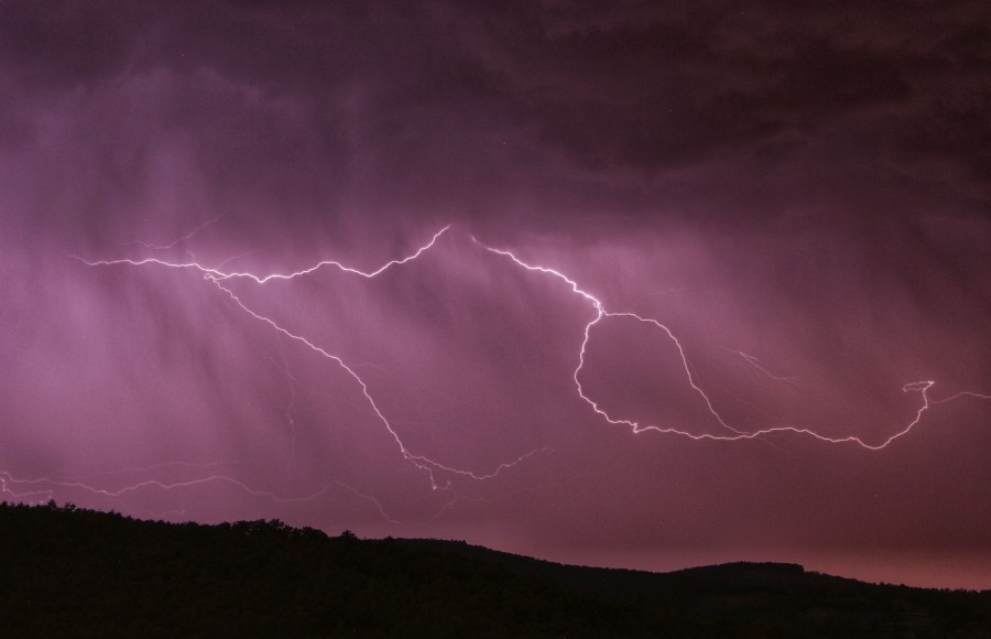
The Civil Protection Agency has issued an adverse weather warning for Sunday, September 13, with a yellow alert for hydro-meteorological risk in Calabria and Sicily. The two southern regions will be affected by strong thunderstorms, potentially organized and locally intense, especially over the Ionian and southern sectors.
The expected phenomena include strong wind gusts, with downbursts that could exceed 90 km/h, hail with stones up to 4-6 centimeters in the most vigorous cells, and the risk of waterspout formation along the coasts, some of which could reach the mainland. The primary focus is on the Strait of Messina and the eastern Ionian coast of Sicily.
The unstable conditions, favored by the arrival of cold air aloft associated with a depression moving from the Tyrrhenian Sea toward the Ionian Sea, will persist especially between Saturday evening and the early hours of Sunday, with a possible evolution toward the Maltese Islands overnight.
The unstable weather affecting Southern Italy, particularly Calabria and Sicily, originates from a specific atmospheric configuration. A low-pressure area (depression) is moving from the southern Tyrrhenian Sea towards the Ionian Sea, carrying cooler air at the mid-levels of the atmosphere. This clash between air masses of different temperatures and humidity is the main driver for the development of intense convective phenomena, such as thunderstorms.
The situation is further complicated by the presence of the Grecale wind from the northeast, which converges with the currents generated by thunderstorms already active between the Sicily Channel and Malta, creating ideal conditions for the formation of organized and potentially dangerous thunderstorm systems. This type of configuration, with converging winds and unstable air, can favor the development of violent thunderstorm cells, known as supercells, capable of producing large hail, destructive winds (downbursts), and tornadoes.
The immediate consequences involve the risk of wind damage, localized flooding due to intense rainfall, and danger to navigation and coastal activities due to waterspouts. The Civil Protection is monitoring the situation, assigning a risk level based on the probability and intensity of the forecasted phenomena.
"Dentro la Notizia" (Inside the Story) is an amateur, non-profit section of quoz.it, created for people who find it hard to make sense of current affairs without some context. Articles are written with AI assistance from public sources, without a professional newsroom or systematic editorial review: they may contain inaccuracies and are not a substitute for registered news outlets. This is not a registered press outlet under Italian law (L. 62/2001). Images, when not original, come from external sources for illustrative purposes only. If you find an article offensive, inaccurate, or think it should not be published — or you hold rights to a text or image and want it removed — let us know and we will act promptly.
Contact:
info@quoz.it

Comments (0)
No comments yet. Write the first one!