An Atlantic disturbance will hit Northern and Central Italy with heavy rains, thunderstorms, and risk of hail. Temperatures dropping by 6-7 degrees.
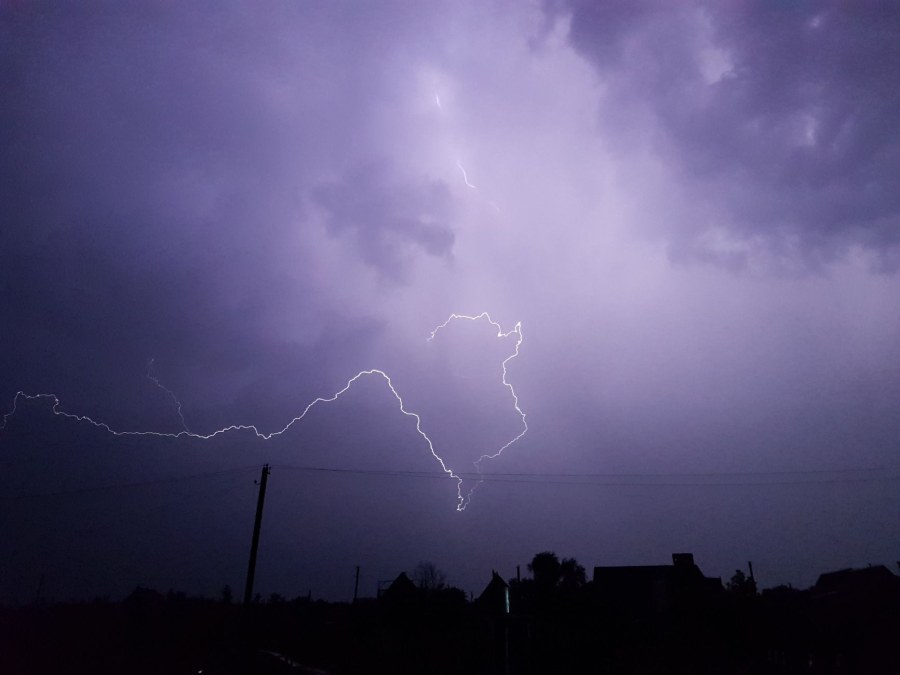
An Atlantic disturbance, the second of September, is about to hit Italy, bringing a period of severe bad weather. On Thursday, September 17, numerous showers and thunderstorms, some of high intensity, are expected across much of the North and many areas of Central Italy, with a risk of cloudbursts and violent hailstorms. The most affected regions will be Liguria, Lombardy, and the Veneto areas.
The disturbance, arriving as early as Wednesday, September 16, will bring a widespread worsening of weather to the North before sliding down the Peninsula. The cool currents following it will cause a noticeable drop in temperatures, especially in the North-Central regions, with highs temporarily falling even below the seasonal average. In the South, however, more stable and warm weather will persist.
For Thursday, September 17, forecasts indicate showers and thunderstorms across almost all northern regions, Tuscany, Umbria, Marche, the Abruzzo Apennines, and northern Sardinia. Rainfall accumulations over 24 hours could exceed 100 millimeters in Friuli-Venezia Giulia and, locally, in Veneto and Trentino-Alto Adige.
The current weather situation is caused by the arrival of an Atlantic disturbance, a low-pressure system that brings cooler and more humid air from the Atlantic Ocean toward Europe. These phenomena are common in autumn, when the clash between different air masses (pre-existing warm air and incoming cool air) triggers instability and thunderstorms.
The disturbance in question, identified as the second of September, began its path toward Italy on Wednesday, September 16th, starting from the Alps and the Po Valley. The worsening weather gradually spread because the oceanic air mass, rich in humidity, meets the heat accumulated in previous days over our territory, creating ideal conditions for intense downpours.
This dynamic explains why the bad weather will mainly affect Northern and Central Italy, while the South will remain more protected, maintaining high temperatures. The expected temperature drop, up to 6-7 degrees lower, is a direct consequence of the disturbance's passage, which replaces warm air with cooler currents. The situation should gradually improve over the weekend.
"Dentro la Notizia" (Inside the Story) is an amateur, non-profit section of quoz.it, created for people who find it hard to make sense of current affairs without some context. Articles are written with AI assistance from public sources, without a professional newsroom or systematic editorial review: they may contain inaccuracies and are not a substitute for registered news outlets. This is not a registered press outlet under Italian law (L. 62/2001). Images, when not original, come from external sources for illustrative purposes only. If you find an article offensive, inaccurate, or think it should not be published — or you hold rights to a text or image and want it removed — let us know and we will act promptly.
Contact:
info@quoz.it

Comments (0)
No comments yet. Write the first one!