Saturday, September 19, severe worsening in the Central-South with possible MCS, downbursts, and waterspouts. North sunny.
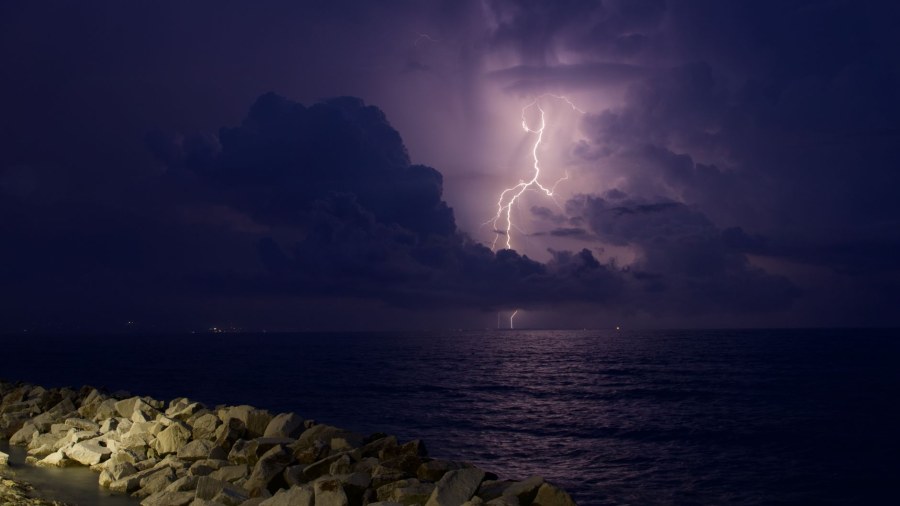
On Saturday, September 19, the passage of a cold drop over central Italy will trigger a significant worsening of the weather, with a type 1 orange alert for the central Adriatic and lower Tyrrhenian Sea. The PRETEMP group warns of risks of severe phenomena, including thunderstorm clusters with intense rainfall, possible hail, and, for the Adriatic, even waterspouts. In the lower Tyrrhenian Sea, the Strait of Sicily, and the Tyrrhenian coast of Calabria, multicellular thunderstorms could evolve into MCS structures, with a danger of strong linear wind gusts.
A broad area under a level 0 yellow alert covers the rest of the South-Central region, Romagna, and the eastern sectors of Sardinia, where less probable phenomena or ordinary convection are expected. The greatest criticalities are forecast for the entire day on Saturday, with peaks starting from the morning. Meanwhile, the North benefits from stable and sunny weather thanks to high pressure, with maximum temperatures generally ranging between 25 and 31 degrees.
The severe weather situation forecast for Saturday, September 19th, arises from the interaction between an upper-level 'cold pool' and the humid air present over the Mediterranean. A cold pool is an isolated mass of very cold air in the high atmosphere, which in this case reaches temperatures of around -15°C at the 500 hPa level. When this cold air flows over the Mediterranean Sea, which is still warm and laden with moisture in the lower layers, it creates strong atmospheric instability. This thermal clash is the engine that triggers and fuels severe and organized thunderstorms.
The research material explains that this worsening phase follows the passage of the month's 'disturbance no. 2', which left the atmosphere already unstable, favoring further precipitation. The most intense phenomena, such as mesoscale convective systems (MCS) and downbursts (sudden, violent wind gusts descending from thunderstorms), are the result of extreme levels of available energy in the atmosphere, indicated by MLCAPE values exceeding 4000 J/kg and very high moisture content (PWAT), up to 50 mm. The situation is expected to improve from the following Sunday, with the phenomena gradually concentrating only over the far South and the major Islands.
"Dentro la Notizia" (Inside the Story) is an amateur, non-profit section of quoz.it, created for people who find it hard to make sense of current affairs without some context. Articles are written with AI assistance from public sources, without a professional newsroom or systematic editorial review: they may contain inaccuracies and are not a substitute for registered news outlets. This is not a registered press outlet under Italian law (L. 62/2001). Images, when not original, come from external sources for illustrative purposes only. If you find an article offensive, inaccurate, or think it should not be published — or you hold rights to a text or image and want it removed — let us know and we will act promptly.
Contact:
info@quoz.it

Comments (0)
No comments yet. Write the first one!