Unstable passage over the Adriatic and South on Friday. From Saturday, high pressure returns with temperatures above normal.
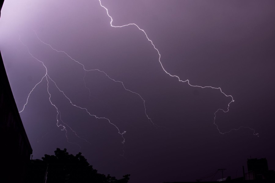
A quick disturbance, the fourth of the month, will affect Italy on Friday, September 25th, bringing a period of unsettled weather. The front will reach the far northeast and the upper Adriatic by the end of Thursday, then slide rapidly toward the central-south between the night and the day on Friday. Scattered showers and thunderstorms are expected, particularly over the central Adriatic regions, Lazio, and southern Italy, with a general drop in temperatures.
However, this unstable phase will be short-lived. Already during the weekend, strengthening high pressure will restore stable conditions across the entire country. On Sunday, September 27th, maximum temperatures will rise, reaching values 2-4°C above the seasonal averages, with peaks around 28°C in the central regions. The end of September is therefore shaping up to be summer-like.
The current weather situation is characterized by a drop in temperatures caused by cool north-easterly winds. These winds, originating from the Balkans, have brought cooler air to Italy in a context still dominated by the anticyclone, the area of high pressure that ensures stable and sunny weather. The easing of these winds expected on Thursday will favor a temporary rise in temperatures, but will also pave the way for the arrival of a new unstable impulse.
The origin of the change forecast for Friday is a cold front arriving from North-Eastern Europe. This front, following a more westerly route, will cause a momentary retreat of the anticyclone on its eastern flank, allowing the passage of the disturbance. This is a rapid event, typical of seasonal transitions, where short unstable phases alternate with periods of fine weather. After this passage, the anticyclone will expand again from the west, ensuring a period of stable and warm weather for the weekend and the beginning of next week.
"Dentro la Notizia" (Inside the Story) is an amateur, non-profit section of quoz.it, created for people who find it hard to make sense of current affairs without some context. Articles are written with AI assistance from public sources, without a professional newsroom or systematic editorial review: they may contain inaccuracies and are not a substitute for registered news outlets. This is not a registered press outlet under Italian law (L. 62/2001). Images, when not original, come from external sources for illustrative purposes only. If you find an article offensive, inaccurate, or think it should not be published — or you hold rights to a text or image and want it removed — let us know and we will act promptly.
Contact:
info@quoz.it

Comments (0)
No comments yet. Write the first one!