The first structured autumn disturbance hits Italy with torrential rains, strong winds, and a general drop in temperatures.
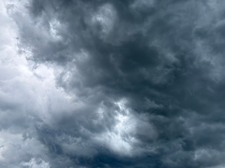
An Atlantic disturbance is affecting Italy, bringing widespread rain, localized intense thunderstorms, and a drop in temperatures. Thursday, October 8th, represents the moment of greatest intensity, with heavy precipitation especially in the North, along the Tyrrhenian coast, and in Campania, where accumulations could exceed 50 mm in 24 hours. On the Alpine peaks, the snow line will drop to around 2000 meters.
The disturbance has already caused significant disruptions in Rome, where a nighttime cloudburst led to flooding, fallen trees and branches, with over 120 interventions by the fire department and traffic at a standstill on several main arteries, including the GRA, the Salaria, and the Pontina. On Friday, the instability will shift towards the South and the Major Islands, with the formation of a low-pressure minimum over the Tyrrhenian Sea.
The ongoing weather event is the first structured autumn disturbance of the year with a predominantly Atlantic signature. The system originated from the interaction between a trough (an area of low pressure at high altitude) filled with cool air descending from the Atlantic and the milder, more humid air mass present over the Mediterranean. This thermal clash is the primary cause of the instability that generates the rain and thunderstorms.
The phenomenon follows a typical path: after initially hitting the North and Tuscany, the disturbance evolves by shifting its low-pressure center over the Tyrrhenian Sea, then heading towards the South. This explains why the most intense rainfall first occurred in the Central-North (with Rome particularly affected) and will shift to the South on Friday. The general temperature drop expected by the weekend will mark the definitive transition towards autumn conditions, following the temporary rise caused by the warm Sirocco winds that preceded the disturbance.
"Dentro la Notizia" (Inside the Story) is an amateur, non-profit section of quoz.it, created for people who find it hard to make sense of current affairs without some context. Articles are written with AI assistance from public sources, without a professional newsroom or systematic editorial review: they may contain inaccuracies and are not a substitute for registered news outlets. This is not a registered press outlet under Italian law (L. 62/2001). Images, when not original, come from external sources for illustrative purposes only. If you find an article offensive, inaccurate, or think it should not be published — or you hold rights to a text or image and want it removed — let us know and we will act promptly.
Contact:
info@quoz.it

Comments (0)
No comments yet. Write the first one!