Soil consumption is advancing at over 3 m² per second, with an increase in landslide and flood risk zones. A national mapping of recoverable areas has been presented.
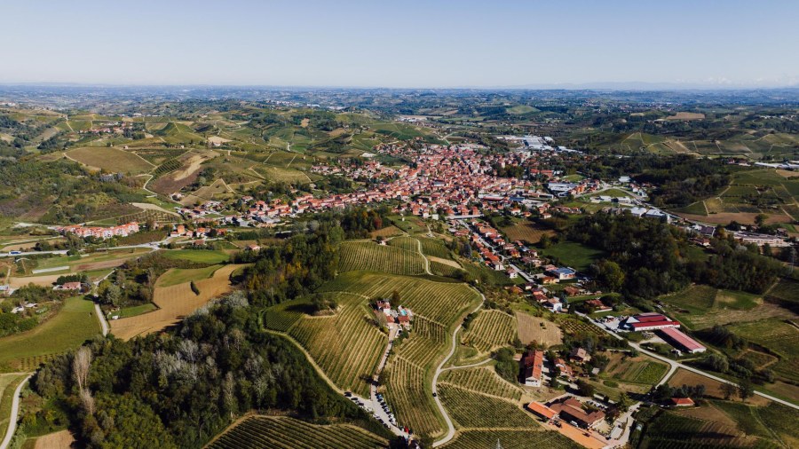
Land consumption in Italy reached a new record in 2025, advancing by another 102 square kilometers at a rate exceeding 3 square meters per second. The data comes from the new Report prepared by the Institute for Environmental Protection and Research and the National System for Environmental Protection.
The phenomenon also affected the most fragile areas: in one year, an additional 1,106 hectares were consumed in flood risk zones and 707 hectares in landslide risk areas. For the first time, the report includes a national mapping of potentially recoverable land, identifying over 2,100 square kilometers of surfaces available for environmental restoration.
Simultaneously, Legambiente raises an alarm for Italy's forest heritage: despite forest growth due to the abandonment of rural areas, pressures such as wildfires (+20.5% in 2026), the climate crisis, and delays in sustainable management are increasing.
Soil consumption is the process by which natural or agricultural land is permanently covered by buildings, roads, or other artificial infrastructure, reducing the land's ability to absorb water and support ecosystems. In Italy, this phenomenon has been systematically monitored for years through annual reports produced by scientific bodies such as ISPRA.
The problem has its roots in the post-World War II period, with the construction boom and industrial development that transformed vast areas of the national territory. In recent decades, despite greater environmental awareness, consumption has continued at a steady pace, often in vulnerable areas such as those at hydrogeological risk.
The new mapping of recoverable areas represents a change in approach: instead of merely measuring the damage, it concretely identifies surfaces that could be returned to nature. This tool could guide policies for urban regeneration and the creation of green spaces, crucial also for mitigating the effects of climate change such as floods and heatwaves.
"Dentro la Notizia" (Inside the Story) is an amateur, non-profit section of quoz.it, created for people who find it hard to make sense of current affairs without some context. Articles are written with AI assistance from public sources, without a professional newsroom or systematic editorial review: they may contain inaccuracies and are not a substitute for registered news outlets. This is not a registered press outlet under Italian law (L. 62/2001). Images, when not original, come from external sources for illustrative purposes only. If you find an article offensive, inaccurate, or think it should not be published — or you hold rights to a text or image and want it removed — let us know and we will act promptly.
Contact:
info@quoz.it


Comments (0)
No comments yet. Write the first one!